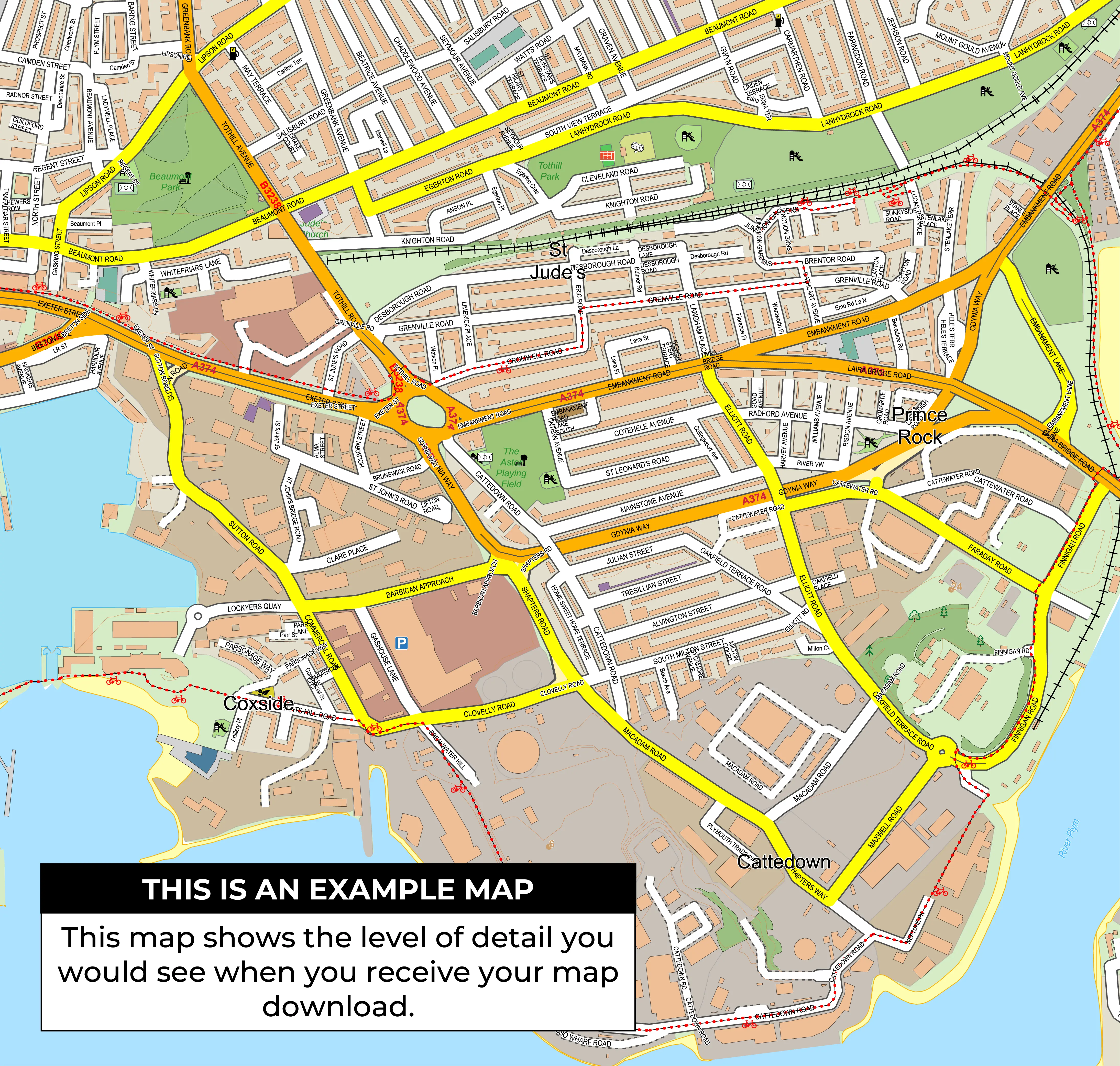
Wolverhampton North East Constituency Map
View the Wolverhampton North East constituency map, linked wards and parliamentary election results. Buy a digital map for £15 including VAT, or order a print.
Download or Order this Map
Digital map files cost £15.00 including VAT. Printed maps start at £41.00 including VAT and UK delivery.
Request a Custom MapFull UK Constituency Map
See parliamentary constituency boundaries across the United Kingdom on one map. Choose a digital download or a printed map for your wall.
Download £50 including VAT
Prints from £41.00 including VAT and UK delivery.
Constituency boundary changes
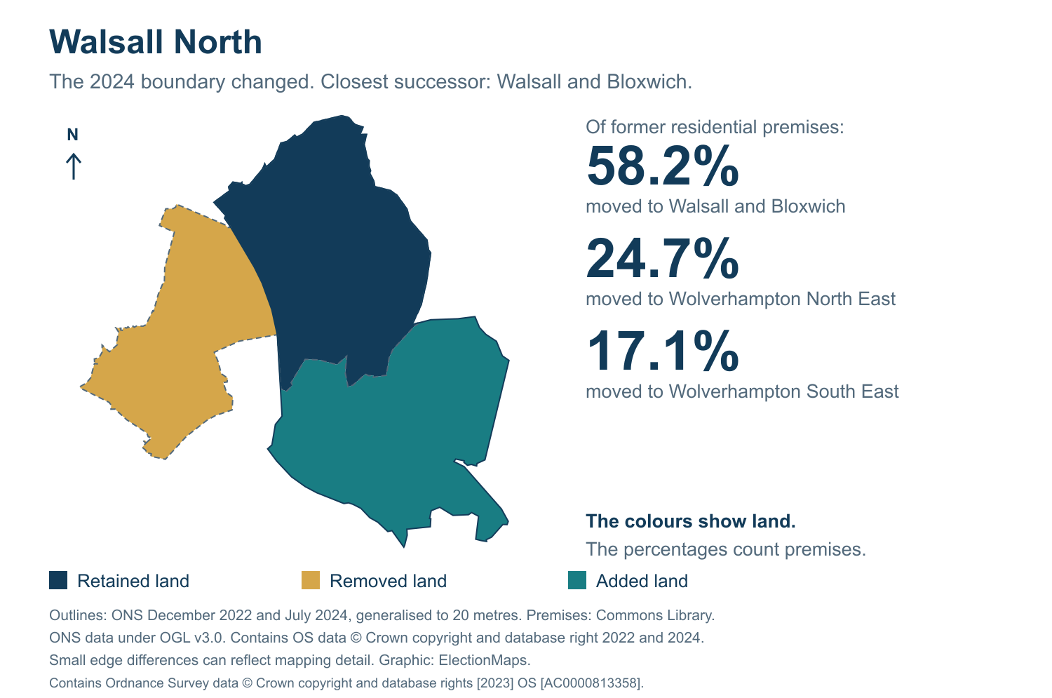
See which former constituencies make up this area. Each image compares a former constituency with its closest 2024 successor.
Browse constituency boundary changes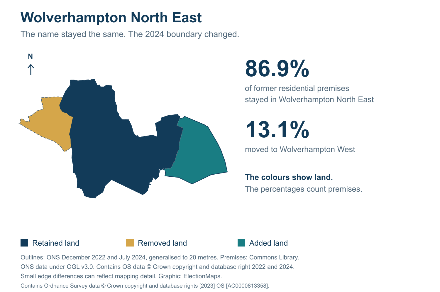
Wolverhampton North East Constituency Facts
Wolverhampton North East is a current Westminster parliamentary constituency in West Midlands. The official current constituency code is E14001594, with 10 linked ward records and 3 split wards in the current ward link dataset.
| Constituency Name | Wolverhampton North East |
| Constituency Code | E14001594 |
| Country | England |
| Region | West Midlands |
| Ward Count | 10 |
| Split Ward Count | 3 |
Who Uses This Map?
The Wolverhampton North East constituency map is useful for organisations and individuals who need a clear, detailed view of the constituency boundary, wards, roads and surrounding area.
Campaign Teams
Plan strategy, target voters and allocate resources.
Graphic Designers
Build infographics, ads and campaign materials.
Publishers
Create reports, guides and electoral publications.
Analysts
Analyse data, track results and identify trends.
Latest Parliamentary Election Result
The latest exact parliamentary result for Wolverhampton North East in this dataset is the General held on 4 Jul 2024. Sureena Brackenridge won for Labour with a recorded majority of 5,422.
Sureena Brackenridge
Labour
Sureena Brackenridge won Wolverhampton North East for Labour. 14,282 votes. Majority 5,422.
Candidate Results
Candidate rows are matched to the latest area result using constituency_code, election_date and election_type. The table includes 5 candidates from 5 parties or groupings.
| Name | Party | Votes | Vote Share | Vote Change | Majority | Result |
|---|---|---|---|---|---|---|
| Sureena Brackenridge | Labour | 14,282 | 42.90% | +7.04% | 5,422 | Elected |
| Jane Stevenson | Conservative | 8,860 | 26.62% | -29.08% | Not available | Not Elected |
| Paul Williams | Reform UK | 7,721 | 23.19% | +20.15% | Not available | Not Elected |
| Kwaku Tano-Yeboah | Green Party | 1,424 | 4.28% | +2.45% | Not available | Not Elected |
| Peter Thornton | Liberal Democrat | 1,002 | 3.01% | -0.56% | Not available | Not Elected |
Wolverhampton North East Election Figures
These figures are from the parliamentary election on 4 Jul 2024 for constituency code E14001594.
Electorate
70,715Valid Votes
33,289Invalid Votes
107Turnout
47.23%Total Votes
33,396Majority
5,422Election History
Wolverhampton North East has 5 parliamentary election rows in this table. Rows marked with an asterisk are historic boundary/name matches from older constituency codes and are labelled separately from exact E14001594 rows.
| Year / Date | Type | Winner | Party | Majority | Electorate | Total Votes | Match |
|---|---|---|---|---|---|---|---|
| 2024 / 4 Jul 2024 | General | Sureena Brackenridge | Labour | 5,422 | 70,715 | 33,396 | Exact current code |
| 2019 / 12 Dec 2019 | General | Jane Stevenson | Conservative | 4,080 | 61,660 | 34,373 | Historic boundary/name match |
| 2017 / 8 Jun 2017 | General | Emma Reynolds | Labour | 4,587 | 60,770 | 36,593 | Historic boundary/name match |
| 2015 / 7 May 2015 | General | Emma Reynolds | Labour | 5,495 | 61,065 | 34,133 | Historic boundary/name match |
| 2010 / 6 May 2010 | General | Emma Reynolds | Labour | 2,484 | 58,931 | 35,030 | Historic boundary/name match |
Party Vote Trend
This chart compares recorded parliamentary election results. Rows marked with an asterisk are historic boundary/name matches from older constituency codes and are labelled separately from exact E14001594 rows.
Total Votes Trend
This chart tracks total parliamentary votes by election date where total vote figures are available.
Party Performance
Labour recorded the highest party vote total in the latest exact-code election row, with 14,282 votes.
Labour
14,28242.90% of valid votesConservative
8,86026.62% of valid votesReform UK
7,72123.19% of valid votesGreen
1,4244.28% of valid votesLiberal Democrats
1,0023.01% of valid votesPrevious Winners
Previous winners are shown from parliamentary election records. Results for older boundaries with the same constituency name are labelled as historic matches.
Wards in Wolverhampton North East
These wards are linked to Wolverhampton North East in the boundary data. A split ward is linked to more than one parliamentary constituency.
| Ward | Ward Code | Council / Local Authority | Status |
|---|---|---|---|
| Short Heath | E05001317 | Walsall | Whole ward |
| Willenhall North | E05001319 | Walsall | Whole ward |
| Bushbury North | E05014841 | Wolverhampton | Split ward |
| Bushbury South & Low Hill | E05014842 | Wolverhampton | Whole ward |
| Fallings Park | E05014846 | Wolverhampton | Whole ward |
| Heath Town | E05014848 | Wolverhampton | Whole ward |
| Oxley | E05014850 | Wolverhampton | Split ward |
| St Peters | E05014853 | Wolverhampton | Split ward |
| Wednesfield North | E05014856 | Wolverhampton | Whole ward |
| Wednesfield South | E05014857 | Wolverhampton | Whole ward |
What constituency is Wolverhampton North East?
Wolverhampton North East is a current Westminster parliamentary constituency in West Midlands. Its current constituency code is E14001594.
How many wards are in Wolverhampton North East?
Wolverhampton North East has 10 linked ward records in the current ward-to-constituency dataset.
Are any wards split in Wolverhampton North East?
Yes. Wolverhampton North East has 3 split ward records.
Who won the latest parliamentary election in Wolverhampton North East?
Sureena Brackenridge won the latest exact-code parliamentary result recorded here.
Are local ward election results used as parliamentary results here?
No. Parliamentary results and local ward results are separate. The ward list shows how local wards relate to this constituency.
Why are some historic rows labelled as boundary/name matches?
Some 2010-2019 parliamentary rows use old constituency codes. Rows with the same constituency name but a different code are labelled as historic boundary/name matches rather than being treated as exact current-code results.