National Structure
650 seats across the UK
The current breakdown is 543 constituencies in England, 57 in Scotland, 32 in Wales and 18 in Northern Ireland.
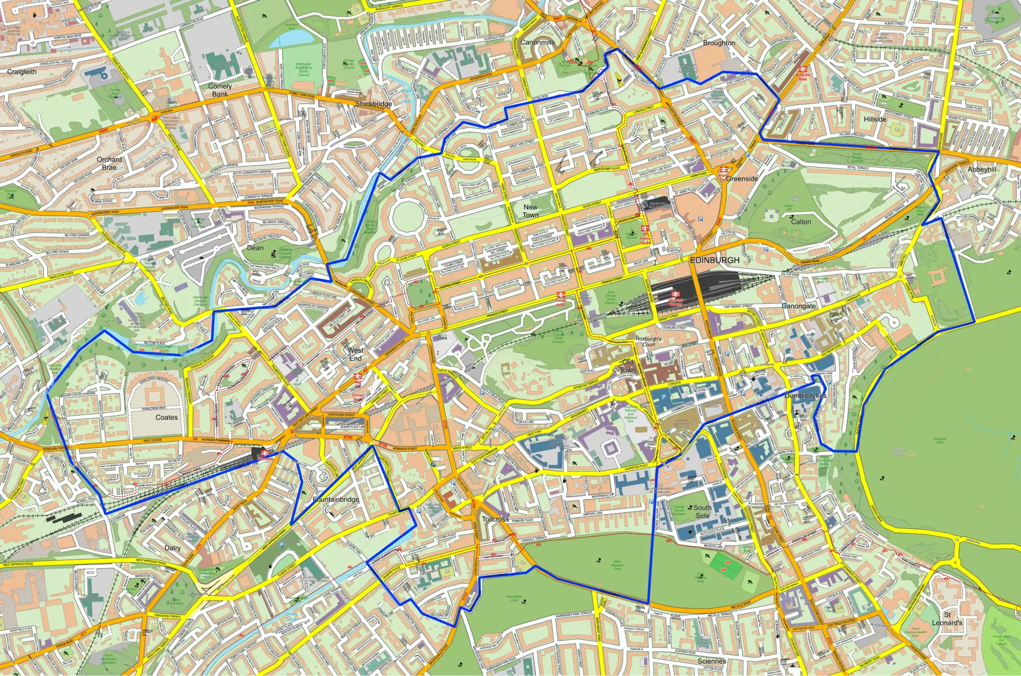
ElectionMaps.co.uk supplies professional boundary maps for the current UK parliamentary constituency structure, helping campaign teams, agencies, publishers and analysts work with the post-2024 Westminster map confidently and clearly.
UK Parliament guidance confirms that the United Kingdom is currently divided into 650 parliamentary constituencies, each returning one MP to the House of Commons. The latest boundary review was completed in June 2023 and took effect at the general election on 4 July 2024.
The current breakdown is 543 constituencies in England, 57 in Scotland, 32 in Wales and 18 in Northern Ireland.
Each parliamentary constituency elects a single Member of Parliament to represent that local area in Westminster.
At a general election, the candidate with the most votes in each constituency becomes the MP for that seat.
The four independent Boundary Commissions review and update constituency boundaries while balancing electorate size and local ties.
UK Parliament also notes that constituencies now average around 73,000 registered electors, subject to a small number of protected island exceptions.

Each constituency page brings together the current boundary record, linked wards, parliamentary election results, candidate data where available and mapping options for the post-2024 Westminster map.
Alongside parliamentary constituency mapping, ElectionMaps now includes individual ward pages with council area details, Westminster constituency links and election results where matching data is available.
Choose editable digital maps, large-format printed maps or a bespoke mapping project built around the geography and detail you need.
Professional mapping for campaign teams, publishers, consultants and agencies that need dependable parliamentary geography.
Large-format printed maps remain valuable when teams need a shared visual reference for route planning, coverage and collaboration.
When a standard map is not enough, tailored outputs can support specialist campaign, research or commercial requirements.

Use parliamentary constituency maps to support leaflet planning, stakeholder communication, internal briefings, website graphics and professionally designed published materials.
Good maps help teams see territories quickly, allocate effort more efficiently and communicate geographic strategy with far less ambiguity.
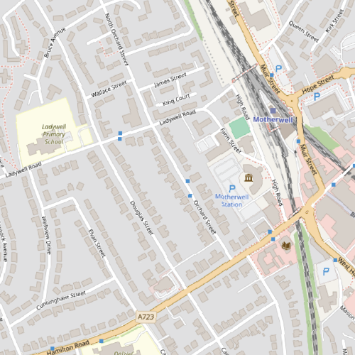
Explore detailed vector street mapping and a self-service boundary map colouring tool for projects that need more local context or custom presentation.
When a constituency outline is only part of the picture, VectorMaps.uk provides the richer street-level detail needed for more localised design and planning work.

GBMaps.com offers a practical self-service option when you want to customise your own boundary maps without waiting for a bespoke design job.