
UK Electoral Mapping Guides
Latest
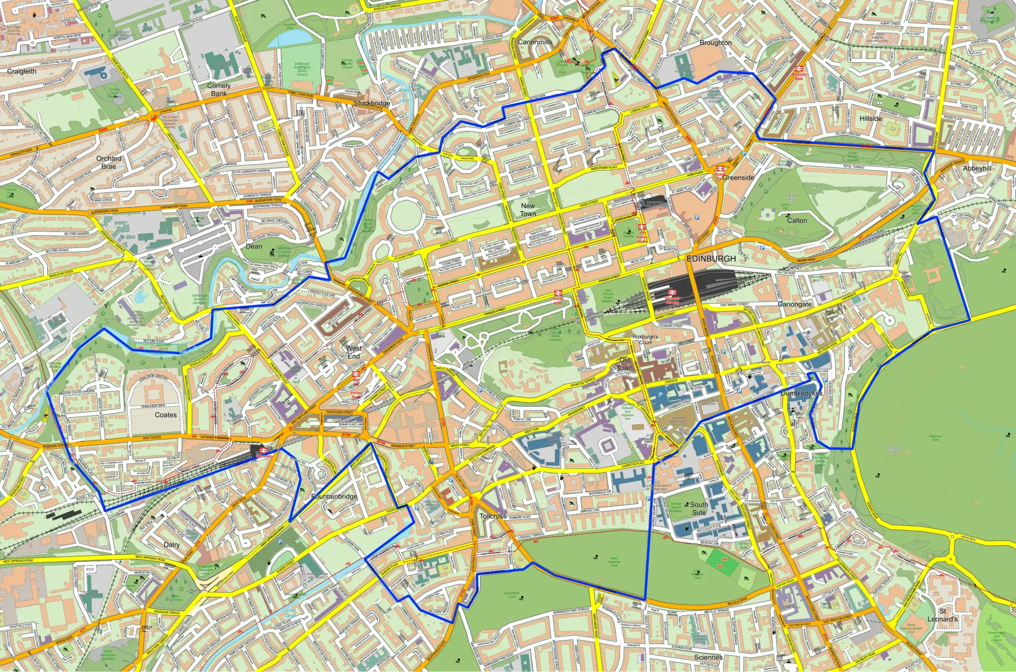
Ward vs Constituency: What's the Difference?
Understand the difference between an electoral ward and a parliamentary constituency, who each area elects and how the boundaries fit together.
More Guides
 Coming soon
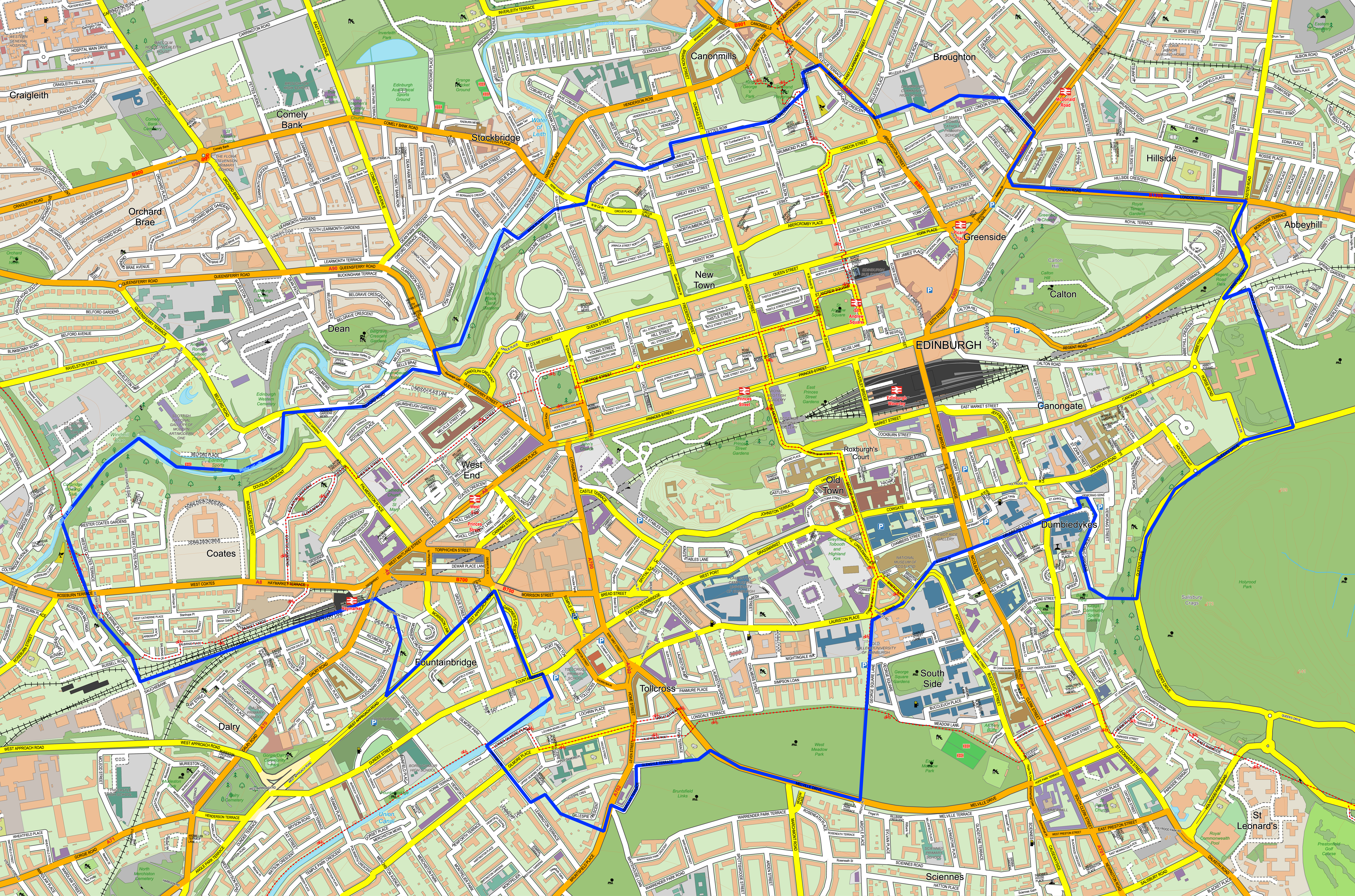
How to Find Your Ward and Constituency by Postcode
A straightforward guide to matching a UK postcode with its current electoral ward, local authority and Westminster constituency.
 Coming soon
What Is a GSS Code?
Learn how official UK geography codes identify wards, constituencies and councils, and why the code is often more reliable than an area name.
 Coming soon
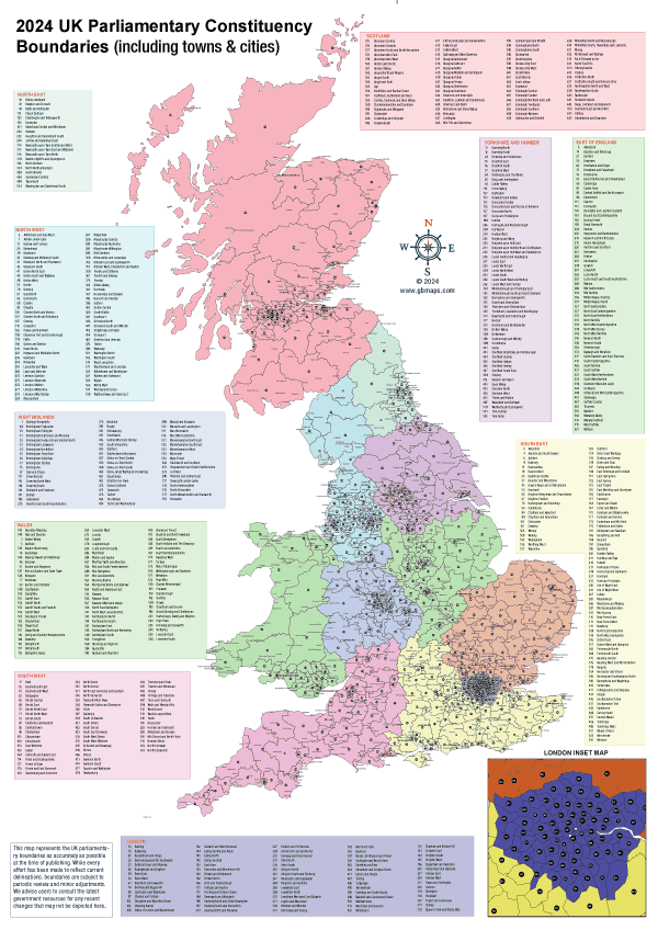
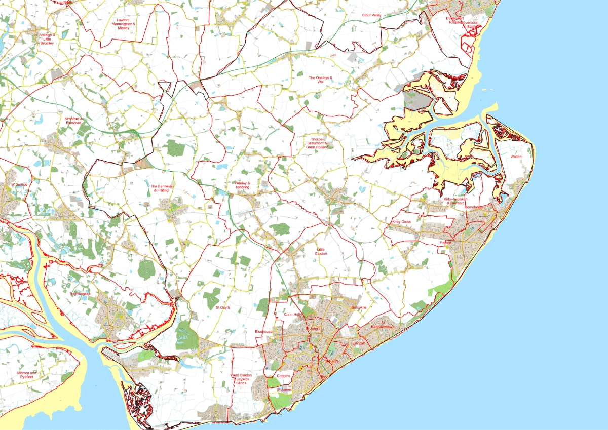
How UK Constituency Boundaries Are Decided
Explore the role of the four Boundary Commissions, electorate rules, local ties and the reviews that shape the Westminster map.
 Coming soon
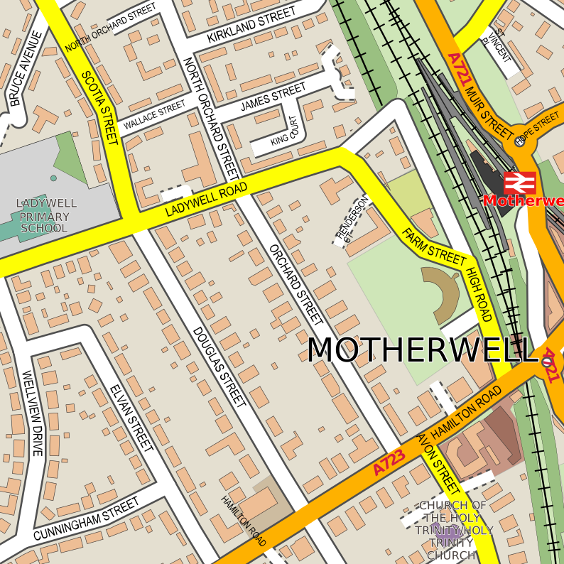
What Is a Split Ward?
Discover why some ward boundaries cross parliamentary constituency lines and what whole and split wards mean on a constituency map.
 Coming soon
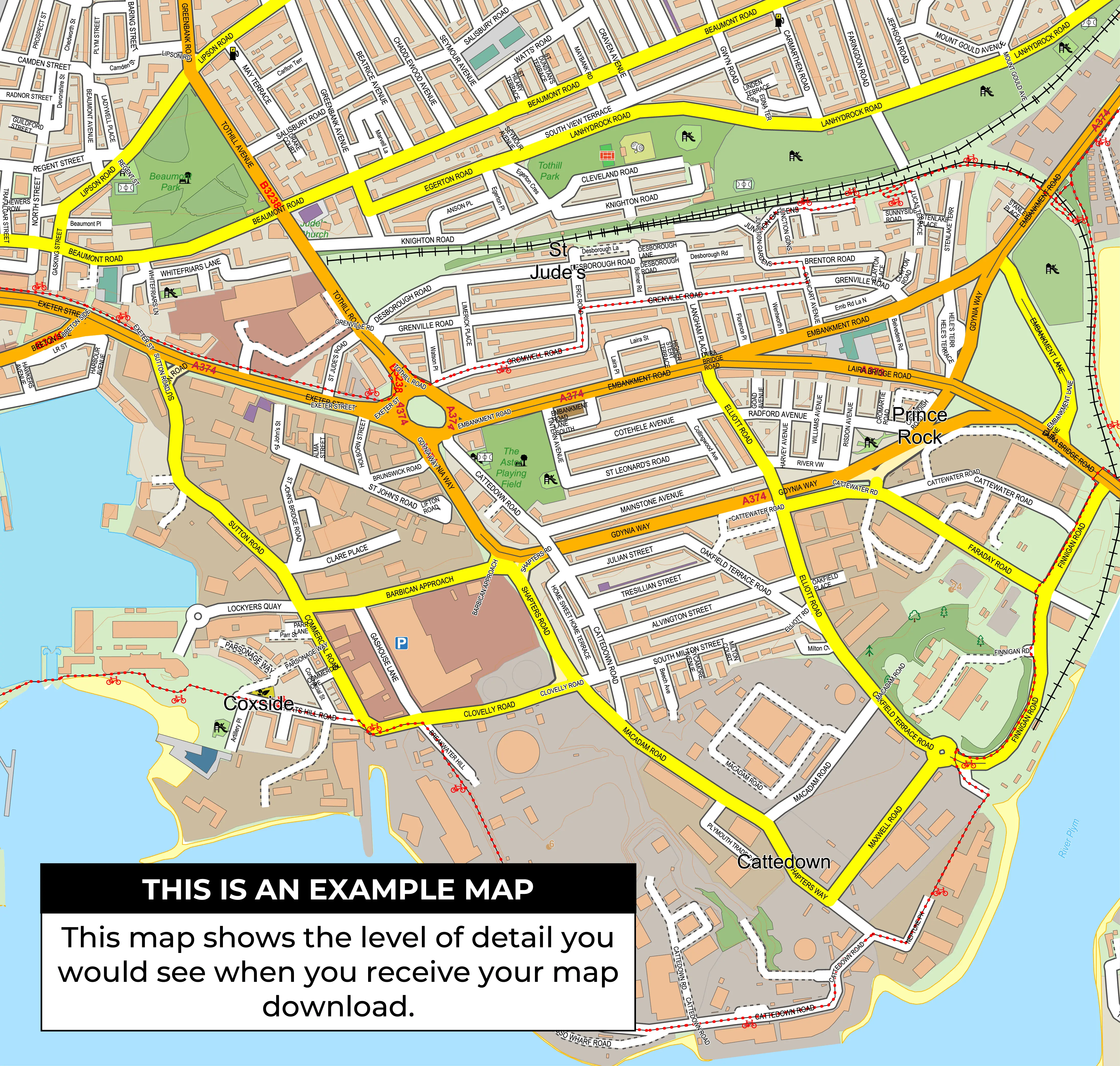
SVG vs PDF vs PNG Election Maps
Choose the right map file for editing, professional printing, presentations, websites and campaign planning.
 Coming soon
Choosing the Right Printed Map Size
Compare A4, A3, A2, A1 and A0 maps for desks, presentations, campaign offices, wall planning and group briefings.