Marlbrook
Date to be announcedBromsgrove · Ward
The source lists a vacancy, but it does not yet give a polling date. 1 seat to fill. Previous party: Conservative, as listed by Open Council Data UK.
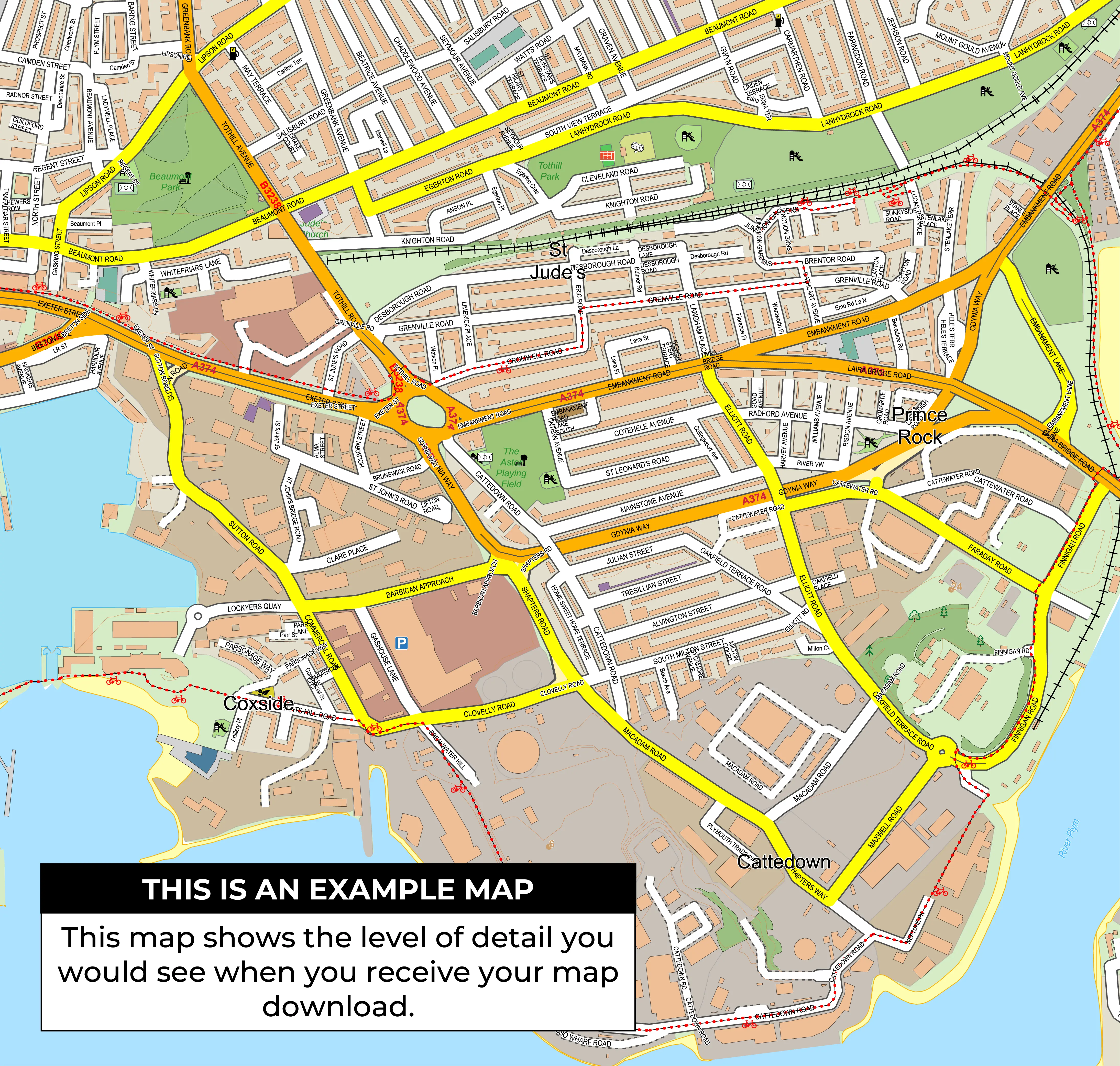
Bromsgrove constituency map. Upcoming council by-elections: Marlbrook. Check dates, ward maps and previous results. Digital map £15 including VAT.
These council elections are in areas linked to this constituency. They elect local councillors. The parliamentary election results below are separate.
Date to be announcedBromsgrove · Ward
The source lists a vacancy, but it does not yet give a polling date. 1 seat to fill. Previous party: Conservative, as listed by Open Council Data UK.
Get the Bromsgrove constituency map
Schedule checked on 17 October 2026. View all upcoming by-elections.
Digital map files cost £15.00 including VAT. Printed maps start at £41.00 including VAT and UK delivery.
Request a Custom MapSee parliamentary constituency boundaries across the United Kingdom on one map. Choose a digital download or a printed map for your wall.
Download £50 including VAT
Prints from £41.00 including VAT and UK delivery.
Bromsgrove is a current Westminster parliamentary constituency in West Midlands. The official current constituency code is E14001138, with 30 linked ward records and 0 split wards in the current ward link dataset.
| Constituency Name | Bromsgrove |
| Constituency Code | E14001138 |
| Country | England |
| Region | West Midlands |
| Ward Count | 30 |
| Split Ward Count | 0 |
The Bromsgrove constituency map is useful for organisations and individuals who need a clear, detailed view of the constituency boundary, wards, roads and surrounding area.
Plan strategy, target voters and allocate resources.
Build infographics, ads and campaign materials.
Create reports, guides and electoral publications.
Analyse data, track results and identify trends.
The latest exact parliamentary result for Bromsgrove in this dataset is the General held on 4 Jul 2024. Bradley Thomas won for Conservative with a recorded majority of 3,016.
Bradley Thomas won Bromsgrove for Conservative. 16,533 votes. Majority 3,016.
Candidate rows are matched to the latest area result using constituency_code, election_date and election_type. The table includes 7 candidates from 7 parties or groupings.
| Name | Party | Votes | Vote Share | Vote Change | Majority | Result |
|---|---|---|---|---|---|---|
| Bradley Thomas | Conservative | 16,533 | 32.80% | -30.60% | 3,016 | Elected |
| Neena Gill | Labour | 13,517 | 26.82% | +5.99% | Not available | Not Elected |
| Glen Brampton | Reform UK | 9,584 | 19.01% | Not available | Not available | Not Elected |
| David Nicholl | Liberal Democrat | 7,391 | 14.66% | +2.17% | Not available | Not Elected |
| Talia Ellis | Green Party | 1,675 | 3.32% | +0.04% | Not available | Not Elected |
| Sam Ammar | Independent | 1,561 | 3.10% | Not available | Not available | Not Elected |
| Aheesha Zahir | Workers Party of Britain | 144 | 0.29% | Not available | Not available | Not Elected |
These figures are from the parliamentary election on 4 Jul 2024 for constituency code E14001138.
Bromsgrove has 5 parliamentary election rows in this table. Rows marked with an asterisk are historic boundary/name matches from older constituency codes and are labelled separately from exact E14001138 rows.
| Year / Date | Type | Winner | Party | Majority | Electorate | Total Votes | Match |
|---|---|---|---|---|---|---|---|
| 2024 / 4 Jul 2024 | General | Bradley Thomas | Conservative | 3,016 | 76,468 | 50,545 | Exact current code |
| 2019 / 12 Dec 2019 | General | Sajid Javid | Conservative | 23,106 | 75,078 | 54,532 | Historic boundary/name match |
| 2017 / 8 Jun 2017 | General | Sajid Javid | Conservative | 16,573 | 73,571 | 54,246 | Historic boundary/name match |
| 2015 / 7 May 2015 | General | Sajid Javid | Conservative | 16,529 | 73,337 | 52,418 | Historic boundary/name match |
| 2010 / 6 May 2010 | General | Sajid Javid | Conservative | 11,308 | 73,036 | 51,728 | Historic boundary/name match |
This chart compares recorded parliamentary election results. Rows marked with an asterisk are historic boundary/name matches from older constituency codes and are labelled separately from exact E14001138 rows.
This chart tracks total parliamentary votes by election date where total vote figures are available.
Conservative recorded the highest party vote total in the latest exact-code election row, with 16,533 votes.
Previous winners are shown from parliamentary election records. Results for older boundaries with the same constituency name are labelled as historic matches.
These wards are linked to Bromsgrove in the boundary data. A split ward is linked to more than one parliamentary constituency.
| Ward | Ward Code | Council / Local Authority | Status |
|---|---|---|---|
| Alvechurch South | E05009823 | Bromsgrove | Whole ward |
| Alvechurch Village | E05009824 | Bromsgrove | Whole ward |
| Aston Fields | E05009825 | Bromsgrove | Whole ward |
| Avoncroft | E05009826 | Bromsgrove | Whole ward |
| Barnt Green & Hopwood | E05009827 | Bromsgrove | Whole ward |
| Belbroughton & Romsley | E05009828 | Bromsgrove | Whole ward |
| Bromsgrove Central | E05009829 | Bromsgrove | Whole ward |
| Catshill North | E05009830 | Bromsgrove | Whole ward |
| Catshill South | E05009831 | Bromsgrove | Whole ward |
| Charford | E05009832 | Bromsgrove | Whole ward |
| Cofton | E05009833 | Bromsgrove | Whole ward |
| Drakes Cross | E05009834 | Bromsgrove | Whole ward |
| Hagley East | E05009835 | Bromsgrove | Whole ward |
| Hagley West | E05009836 | Bromsgrove | Whole ward |
| Hill Top | E05009837 | Bromsgrove | Whole ward |
| Hollywood | E05009838 | Bromsgrove | Whole ward |
| Lickey Hills | E05009839 | Bromsgrove | Whole ward |
| Lowes Hill | E05009840 | Bromsgrove | Whole ward |
| Marlbrook | E05009841 | Bromsgrove | Whole ward |
| Norton | E05009842 | Bromsgrove | Whole ward |
| Perryfields | E05009843 | Bromsgrove | Whole ward |
| Rock Hill | E05009844 | Bromsgrove | Whole ward |
| Rubery North | E05009845 | Bromsgrove | Whole ward |
| Rubery South | E05009846 | Bromsgrove | Whole ward |
| Sanders Park | E05009847 | Bromsgrove | Whole ward |
| Sidemoor | E05009848 | Bromsgrove | Whole ward |
| Slideslow | E05009849 | Bromsgrove | Whole ward |
| Tardebigge | E05009850 | Bromsgrove | Whole ward |
| Wythall East | E05009851 | Bromsgrove | Whole ward |
| Wythall West | E05009852 | Bromsgrove | Whole ward |
Bromsgrove is a current Westminster parliamentary constituency in West Midlands. Its current constituency code is E14001138.
Bromsgrove has 30 linked ward records in the current ward-to-constituency dataset.
No split wards are recorded for Bromsgrove in the current constituency ward link data.
Bradley Thomas won the latest exact-code parliamentary result recorded here.
No. Parliamentary results and local ward results are separate. The ward list shows how local wards relate to this constituency.
Marlbrook (Bromsgrove): Date to be announced. These elections fill local council seats. Source: Open Council Data UK, checked on 17 October 2026.
Some 2010-2019 parliamentary rows use old constituency codes. Rows with the same constituency name but a different code are labelled as historic boundary/name matches rather than being treated as exact current-code results.