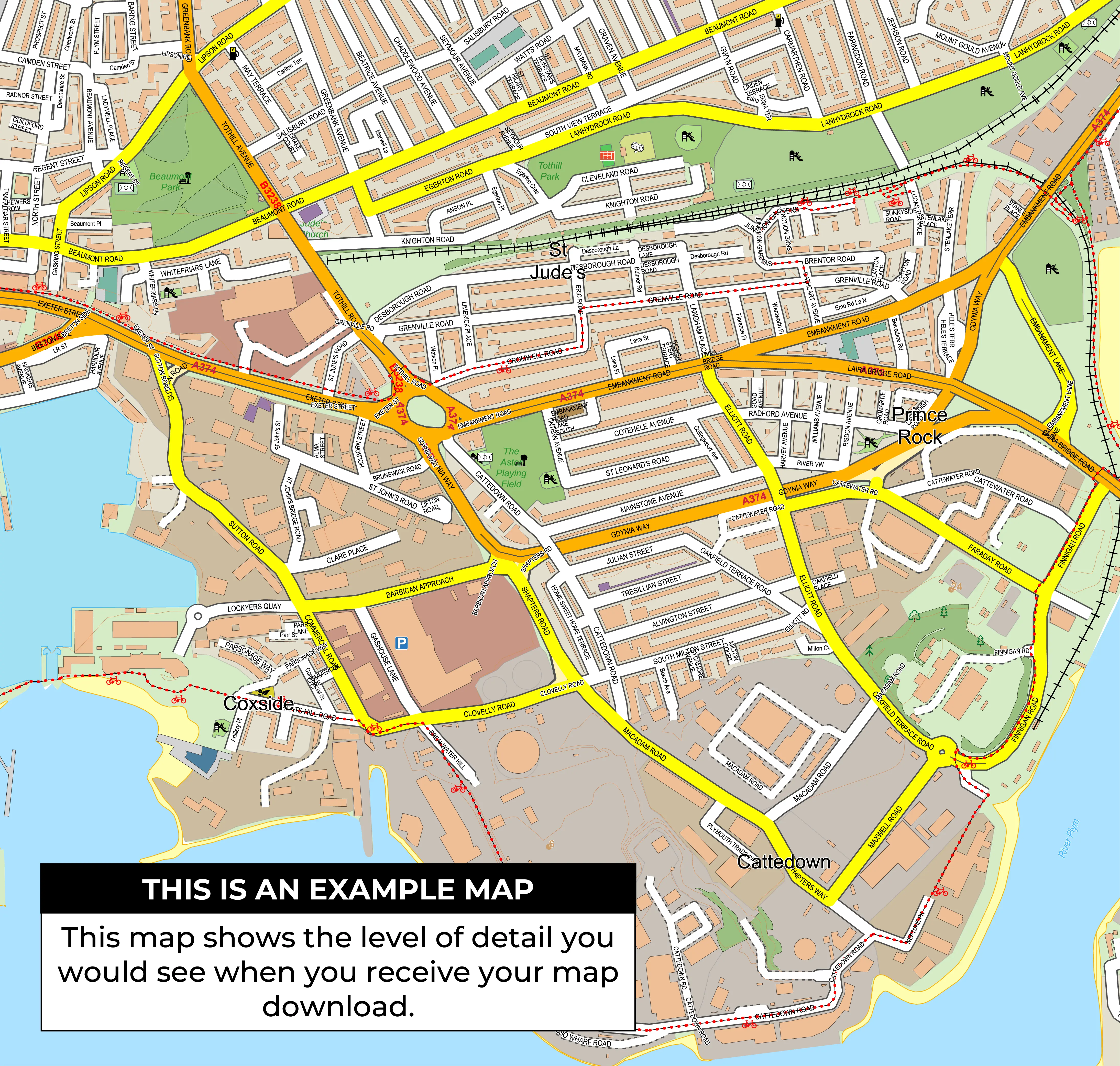
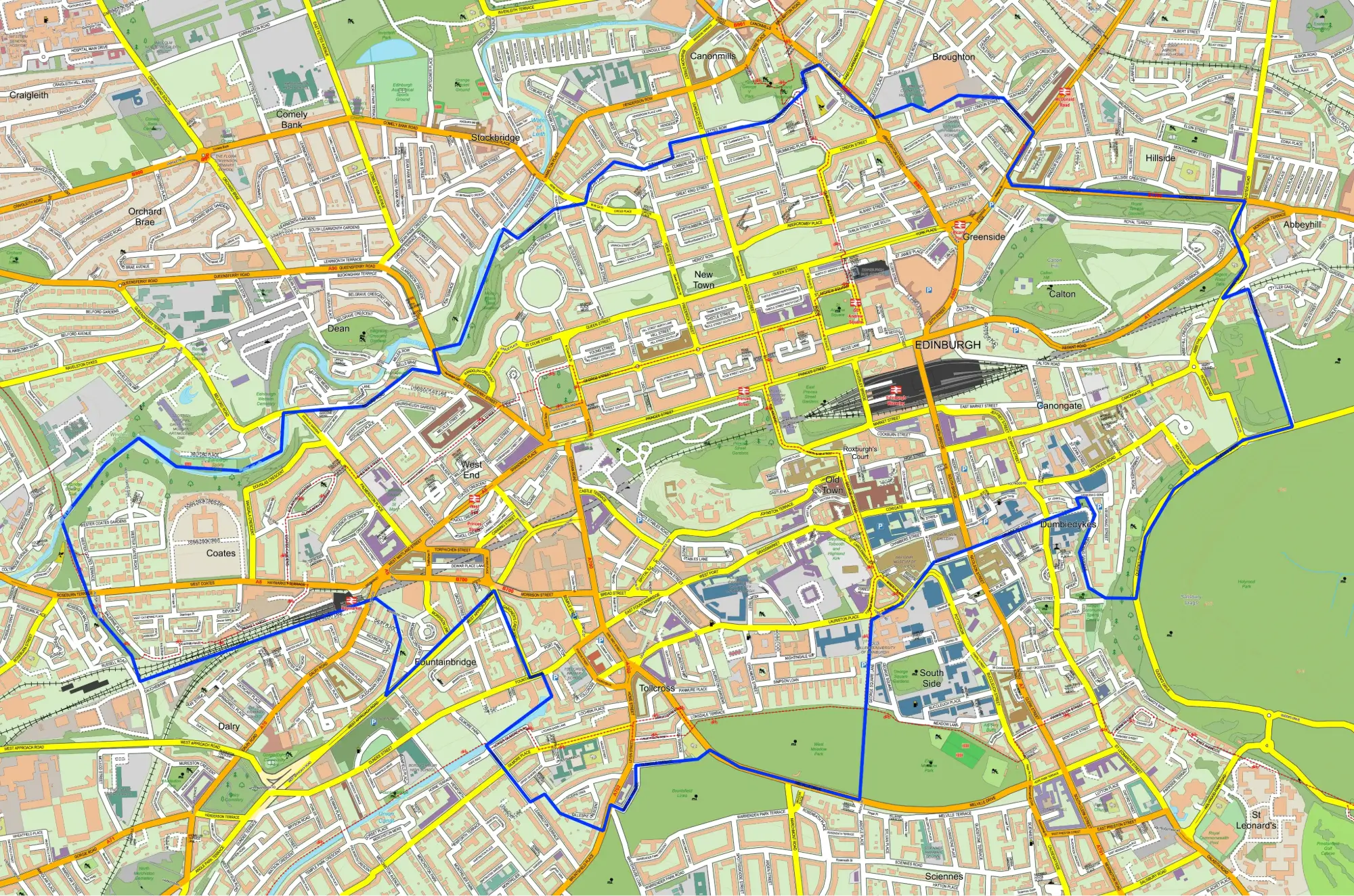
Llwchwr Ward Map
View the Llwchwr ward boundary in Swansea. Check constituency links and election results. Buy a digital map for £15 including VAT, or order a print.
Download or Order this Map
Digital map files cost £15.00 including VAT. Printed maps start at £41.00 including VAT and UK delivery.
Request a Custom Map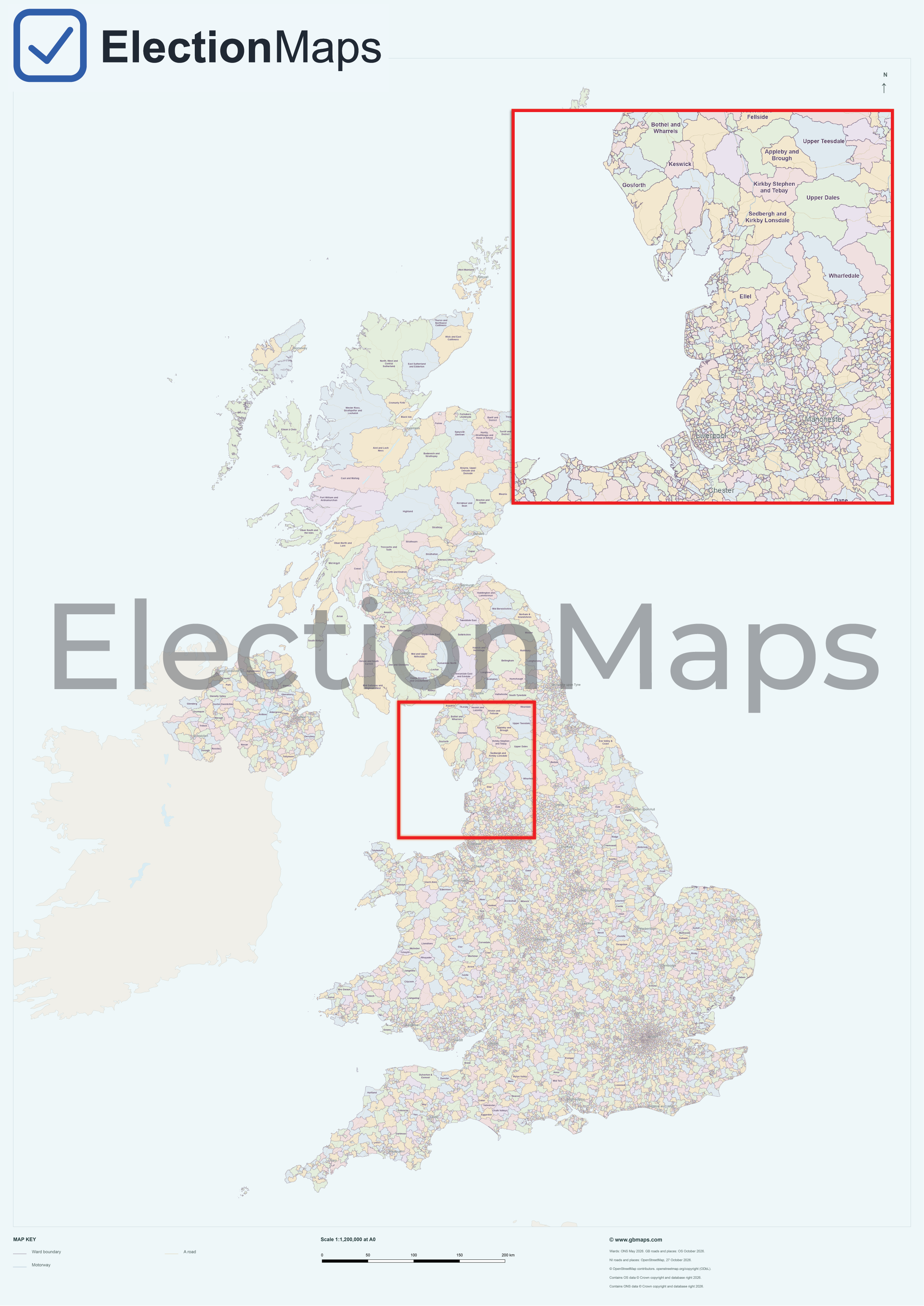
Full UK Ward Map
All UK ward boundaries on one map, as a digital download or print.
Download £50 including VAT
Prints from £41.00 including VAT and UK delivery.
Llwchwr Ward Facts
Llwchwr is a ward in Swansea, . The official ward code is W05001053, which is used here to connect the boundary record with constituency links and local election results.
| Ward Name | Llwchwr |
| Ward Code | W05001053 |
| Council Area | Swansea |
| County or Unitary Authority | Swansea |
| Region | |
| Country | Wales |
| Westminster Constituency | Gower |
| Split Ward Status | No |
Create a Custom Map of Llwchwr
A custom map of Llwchwr can be built around the ward boundary, nearby places, council area and parliamentary constituency, making it suitable for campaign planning, local reporting and printed reference maps.
No Ward Election Results Available
No matching election result row
Llwchwr is available in the ward boundary dataset, but there is not currently a matching row for W05001053 in the ward election results table.
What council is Llwchwr in?
Llwchwr is in the Swansea council area.
Which Westminster constituency is Llwchwr in?
Llwchwr is in the Gower Westminster constituency.
What is the ward code for Llwchwr?
The official ward code for Llwchwr is W05001053.
Are ward election results available for Llwchwr?
No matching ward election result row is currently available for W05001053.