
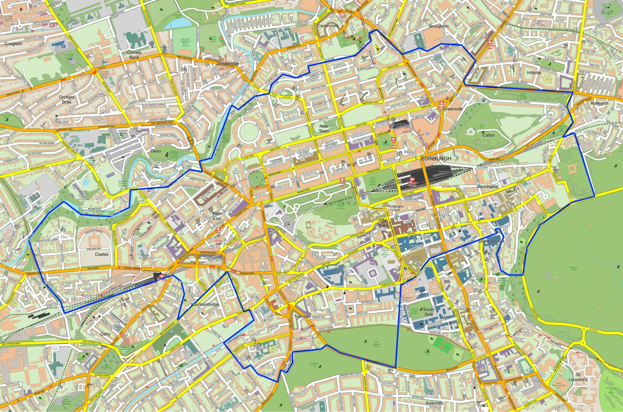
Wards and constituencies are both electoral areas, but they serve different levels of government. A ward is normally used to elect local councillors, while a parliamentary constituency elects one Member of Parliament to the House of Commons. Because both boundaries can cover the same streets, towns and neighbourhoods, the terms are often confused.
Ward and Constituency - Key Differences
- A ward is a local government electoral area.
- A Westminster constituency is a UK parliamentary electoral area.
- A ward elects one or more local councillors, depending on the council and electoral arrangements.
- A parliamentary constituency elects one MP.
- Several wards usually sit inside a constituency, although some wards are split between constituencies.
Ward vs Constituency Comparison
The table below summarises the practical differences between the two types of boundary.
| Feature | Electoral Ward | Parliamentary Constituency |
|---|---|---|
| Level of government | Local council | UK Parliament |
| Representative | Local councillor or councillors | One Member of Parliament |
| Election | Local council election | UK general election or parliamentary by-election |
| Typical size | Smaller local area | Larger area made from multiple local communities |
| Official identifier | Ward GSS code | Constituency GSS code |
What Is an Electoral Ward?
An electoral ward is a defined area used to elect representatives to a local council. When residents vote in a local election, they choose the councillor or councillors who will represent that ward. The exact terminology varies around the UK, and some authorities use the term electoral division, but the purpose is broadly the same.
Ward boundaries are designed around local electoral arrangements. They can change after a review to account for population growth, development, community identity and differences in the number of electors represented by each councillor.
What Is a Parliamentary Constituency?
A parliamentary constituency is an area represented by one MP in the House of Commons. The UK is divided into 650 Westminster constituencies. At a general election, voters choose between the candidates standing in their constituency, and the candidate with the most votes becomes the MP.
How Do Wards and Constituencies Fit Together?
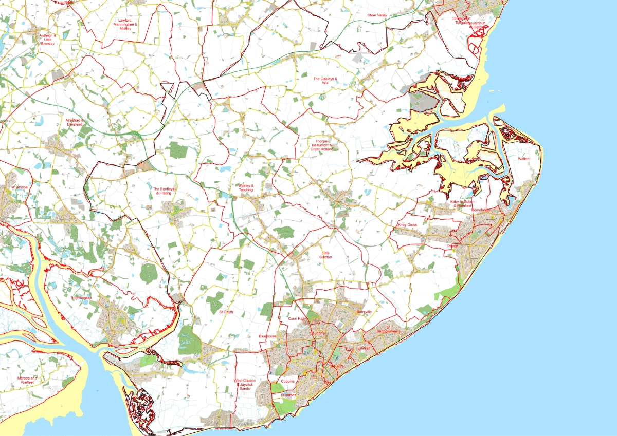
Constituency boundaries are often built using existing ward boundaries because wards provide recognisable local building blocks. A constituency will therefore usually contain several complete wards. The relationship is not always exact, however, because the Boundary Commissions also need to consider electorate totals, geography and local ties.
What is a split ward?
A split ward is a ward divided between two parliamentary constituencies. Part of the ward sits in one constituency and the remainder sits in another. This means a list of ward names alone may not describe a constituency boundary precisely; a detailed map is needed to show the actual line.
Can a place have both a ward and a constituency?
Yes. Every address covered by the electoral system can be located within several overlapping geographies. The same address may have a local ward, a local authority, a Westminster constituency and other boundaries for devolved elections or administration.
How to Find Your Ward or Constituency
The simplest starting point is a full UK postcode. A postcode lookup can identify the current electoral geography, after which the boundary can be checked on a map. Area names alone can be ambiguous because different councils can use the same ward name.
Find the Boundary You Need
Search for your ward by postcode, or browse current ward and parliamentary constituency maps with official area codes and linked election information.
Why the Difference Matters
Using the wrong boundary can cause problems for campaign planning, publishing, research and local communication. A councillor represents a ward, while an MP represents a constituency. Leaflets, wall maps, data analysis and delivery plans should therefore use the geography that matches the election or organisation involved.
Frequently Asked Questions
Is a ward smaller than a constituency?
Usually, yes. A constituency commonly contains several wards, although ward sizes vary considerably between urban and rural areas.
Does every ward have one councillor?
No. Some wards elect one councillor while others elect two, three or more, depending on the local electoral arrangements.
Can ward boundaries change?
Yes. Local boundary commissions review electoral arrangements and can recommend changes to ward names, boundaries and the number of councillors.
Can constituency boundaries change?
Yes. The four independent Parliamentary Boundary Commissions periodically review constituency boundaries. The current Westminster boundaries first took effect at the 2024 UK general election.
Further Information
For authoritative explanations of parliamentary constituencies, visit UK Parliament. Information about local council elections and wards is available from the Electoral Commission.